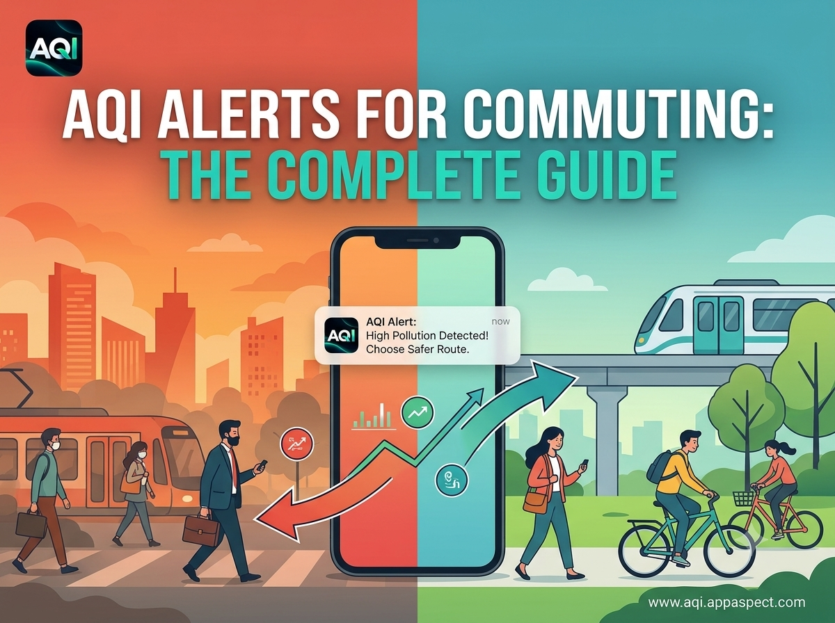
AQI Alerts for Commuting: The Complete Guide
Introduction
AQI alerts for commuting give urban travelers a way to protect their health while navigating city streets. By tapping into real-time air quality data, you can decide whether to bike, take the bus, or adjust your departure time. This guide explains how the alerts work, shows practical steps for smarter route planning, and highlights how to combine them with your favorite navigation tools.
Understanding AQI Alerts for Daily Commutes
AQI alerts for daily commutes are notifications that tell you when pollution levels cross a health-based threshold along your typical route. The alerts are generated from a network of monitoring stations that feed measurements into a central index. When the index rises above a preset level, a push notification or SMS is sent to your device.
- How the index is calculated - Sensors record concentrations of pollutants such as PM2.5, PM10, ozone, and nitrogen dioxide. These values are weighted and converted into a single number ranging from 0 (good) to 500 (hazardous).
- Alert thresholds - Most services let you set a personal threshold (e.g., “notify me when AQI exceeds 100”). The threshold aligns with the “moderate” to “unhealthy for sensitive groups” range, where respiratory irritation often begins.
- Delivery channels - Alerts arrive via mobile notifications, email, or in-app banners. The timing is usually within minutes of a sensor reporting a change, giving you enough lead time to adapt your commute.
[!NOTE] The air quality index commuting concept is the same whether you travel by foot, bike, car, or public transport.
How Real-Time AQI Data Improves Route Planning
Real time AQI commute information lets you treat air quality as another layer of traffic data. Instead of assuming the shortest distance is the healthiest, you can choose routes that keep you in cleaner air pockets.
- Identify polluted corridors - Use an interactive map to see hotspots along major avenues.
- Compare alternative streets - Side streets often have lower traffic density and therefore lower particulate matter.
- Adjust departure windows - If the forecast shows a spike at 8 am, leaving 15 minutes earlier or later can keep you under a safer AQI level.
- Leverage mode-specific data - Bicyclists benefit from routes with tree canopies that filter particulates, while bus riders may prefer lanes with fewer diesel trucks.
A practical example: a commuter who normally takes Main Street sees a real-time alert that AQI has risen to 135 due to a construction-related dust plume. By switching to Oak Avenue, which runs parallel but has a lower reading of 85, the rider reduces exposure by roughly 40 percent.
Choosing Safer Transportation Modes Based on AQI
AQI commuting safety tips vary by transportation mode because each mode interacts with pollutants differently.
- Walking and biking - Direct exposure is highest, but you can mitigate risk by selecting shaded routes, wearing a mask, and timing trips to avoid peak traffic.
- Public transport - Buses and trains often have filtered ventilation systems, but crowded interiors can concentrate airborne particles. Opt for newer fleets with upgraded filters when possible.
- Car travel - Cabin air filters capture a portion of pollutants, yet windows left open for ventilation can let in outdoor air. Keep recirculation mode on during high-AQI periods.
[!TIP] When AQI reaches “unhealthy for sensitive groups,” consider shifting to a mode with enclosed ventilation (e.g., subway) and keep doors closed to limit outdoor air ingress.
Integrating AQI Alerts with Navigation Apps
Integrating AQI alerts with navigation apps turns raw data into actionable directions. While many navigation platforms already show traffic congestion, adding air-quality layers creates a more holistic view.
Steps to set up integration
- Open your navigation app’s settings and locate the “layers” or “overlays” section.
- Choose the option to add a custom data source and enter the URL for the AQI service (provided by the AQI - Air Quality Index platform).
- Enable push notifications for the AQI layer; you’ll now see color-coded segments that reflect current air quality.
- Adjust the alert threshold within the navigation app to match your personal comfort level.
Once configured, the app will automatically reroute you when a segment’s AQI exceeds your limit, similar to how it avoids traffic jams.
Key Takeaways
- Set personal AQI thresholds so alerts trigger only when air quality becomes a health concern.
- Use real-time maps to spot polluted corridors and choose cleaner alternatives.
- Match transportation mode to AQI conditions; enclosed vehicles with good filtration are safest during spikes.
- Integrate AQI data into your navigation app to receive dynamic rerouting based on air quality.
- Leverage AQI - Air Quality Index for reliable, location-based air quality information that powers all of the steps above.
FAQs
What is an AQI alert and how does it work?
An AQI alert is a notification that informs you when the Air Quality Index along a specific route exceeds a predefined level. Sensors collect pollutant data, calculate the index, and push the alert to your device in near real-time.
How can I get real-time AQI updates while commuting?
Subscribe to mobile notifications from a trusted service such as AQI - Air Quality Index. Enable location permissions so the app can deliver alerts tailored to your current commute corridor.
Which commuting modes are safest during high AQI?
Enclosed modes with filtration-like modern subway cars or newer buses-generally provide the lowest exposure. If you must walk or bike, choose routes with tree cover and consider a certified mask.
Can AQI data be integrated with GPS navigation apps?
Yes. Most navigation platforms allow custom overlays; by adding the AQI data source you can see color-coded air-quality information and receive automatic rerouting when thresholds are crossed.
What steps should I take on a high-AQI commute day?
- Check the latest AQI alert before leaving.
- Choose a route with the lowest index reading.
- Opt for a transportation mode with good ventilation.
- Wear a protective mask if walking or biking.
- Keep windows closed in a car and use recirculation mode.
Conclusion
AQI alerts for commuting empower city dwellers to turn air-quality data into concrete health decisions. By understanding how alerts are generated, using real-time information to plan routes, selecting safer travel modes, and linking the data to navigation apps, you can dramatically reduce exposure to harmful pollutants on a daily basis.
Get Started with AQI Alerts
Ready to protect your health on every ride? AQI - Air Quality Index delivers real-time pollution levels, interactive maps, and location-based alerts that fit seamlessly into your commute routine. Visit the platform, enable notifications, and start breathing easier today. https://aqi.appaspect.com/
Further Reading
- Air quality monitoring - Overview of how air quality is measured and reported.
- EPA Air Quality Index (AQI) Basics - Official guidance on interpreting AQI values.
- World Health Organization: Ambient (outdoor) air quality and health - Health impacts of outdoor pollution.
- U.S. Department of Transportation: Transportation and Air Quality - How transport choices affect air quality.
Download Air Quality Index – it's free
Live AQI, pollutants, weather, AQI map and earthquake alerts on Android and iPhone.